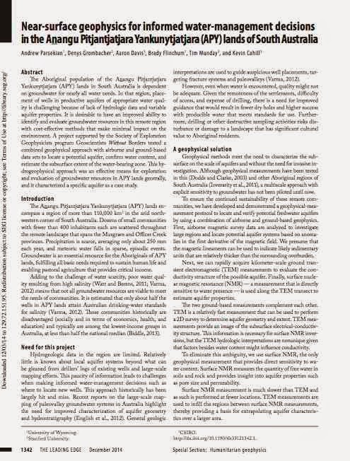
An article on this project has just been published in a special issue of The Leading Edge (TLE) on humanitarian geophysics. Here's the abstract; a link to the full article follows:
 "The Aboriginal population of the Aṉangu Pitjantjatjara Yankunytjatjara (APY) lands in South Australia is dependent on groundwater for nearly all water needs. In that region, placement of wells in productive aquifers of appropriate water quality is challenging because of lack of hydrologic data and variable aquifer properties. It is desirable to have an improved ability to identify and evaluate groundwater resources in this remote region with cost-effective methods that make minimal impact on the environment. A project supported by the Society of Exploration Geophysicists program Geoscientists Without Borders tested a combined geophysical approach with airborne and ground-based data sets to locate a potential aquifer, confirm water content, and estimate the subsurface extent of the water-bearing zone. This hydrogeophysical approach was an effective means for exploration and evaluation of groundwater resources in APY lands generally, and it characterized a specific aquifer as a case study."
Full Article (subscription required)